
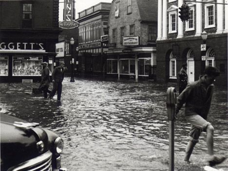
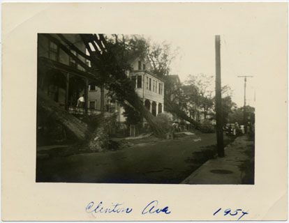
On August 31st, 1954, Hurricane Carol came ashore on the coast of Newport, RI with a massive surge and winds of 115 mph.
In one hour, Carol destroyed 3,800 homes, sank or damaged 2,000 boats and yachts, and leveled almost all of the island’s powered and telephone lines.
While the storm was less powerful than the ’38 hurricane, Carol was still able to destroy many of Newport’s coastal attractions, such as the Merry-Go-Round at Easton’s Beach and Johnny’s Atlantic Beach Club. All of Rhode Island lost electrical power due to the storm, and 65 people were killed in Southern New England.
According to reports, the hurricane left in its wake over $200 million in property damage in Rhode Island alone, and electrical service was cut off for over six days.
Several of these photos are from the Newport Historical Society. For more information on what they do, visit www.newporthistory.org.
This story was originally published on August 31, 2015.